Water is essential for life on Earth. Yet, scientists currently have comprehensive information on just a few thousand lakes worldwide. A NASA-led international mission plans to change that with the first-ever global survey of nearly all water on Earth's surface.
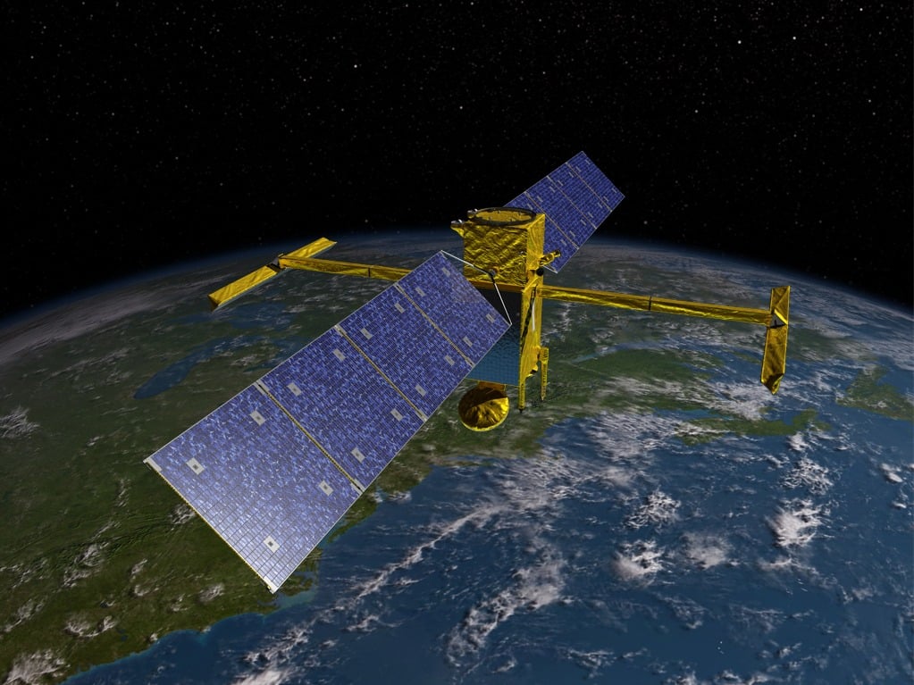
The Surface Water and Ocean Topography (SWOT) satellite successfully launched from California on December 16, 2022. The solar-powered spacecraft will scan over 90 percent of the planet every 21 days. It will measure 95 percent of the world's lakes larger than 15 acres (60,702 square meters). SWOT will also gather data on rivers wider than 330 feet (100 meters) across. The information will allow researchers to better understand how the planet's water cycle is being affected by climate change.
SWOT will also monitor the oceans. This will allow scientists to better track sea level rise. The information will allow countries to take measures to protect coastal communities and ecosystems before it is too late.
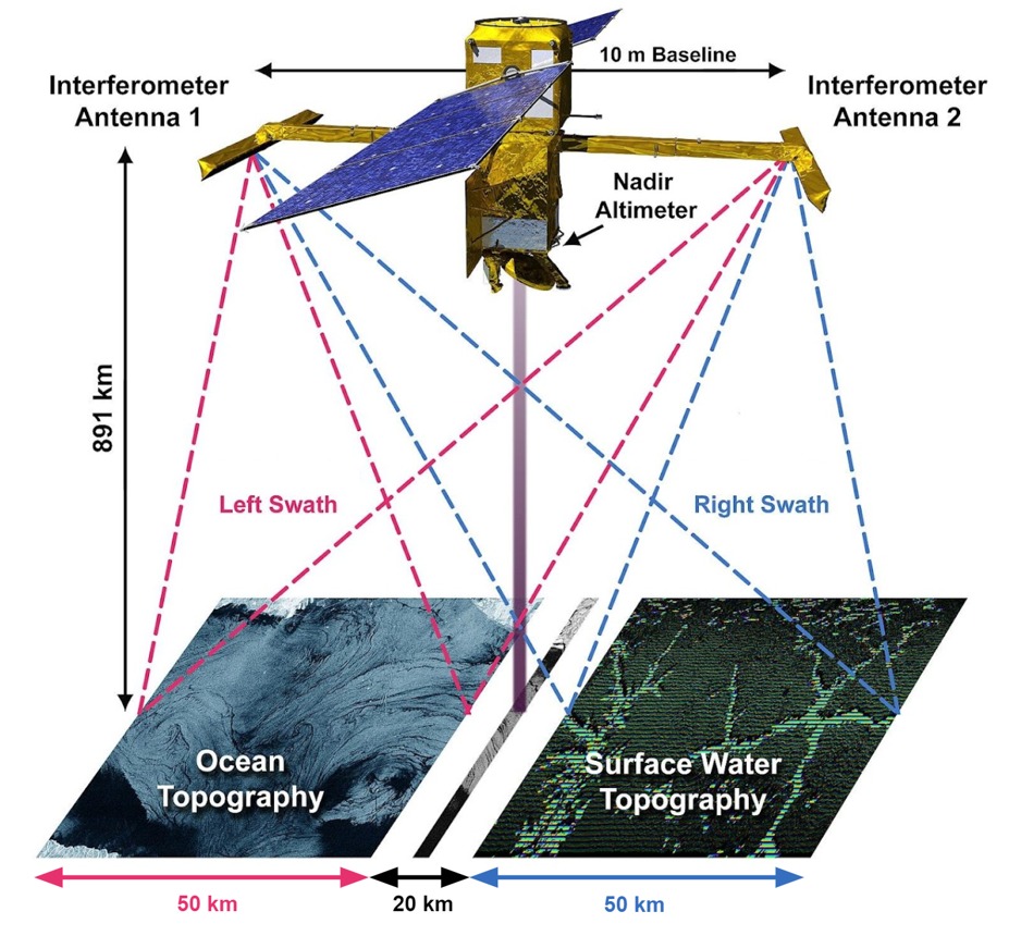
"SWOT will transform our ability to track freshwater on planet Earth and currents in the ocean," said Professor Paul Bates of the University of Bristol. "For the first time, we will be able to track flood waves moving down river systems and see the rise and fall of water levels in millions of lakes and wetlands worldwide."
The SWOT mission is currently expected to last for three years. However, it could go on for longer if the satellite continues to provide data.
Resources: NASA.gov, Treehugger.com, EarthSky.com

